We offer five core services
within our field of expertise shown below.

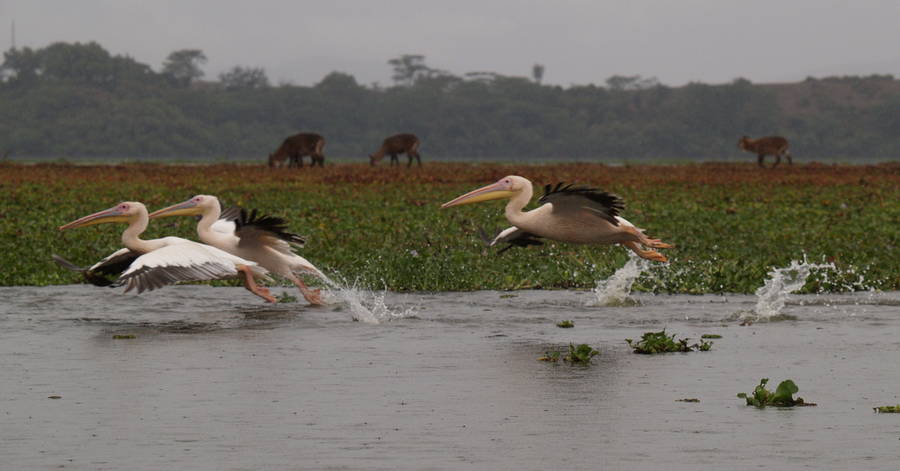
WATER SECTOR
The scope mainly ranges from operations, monitoring, and early warning services to help in setting operationalization guidelines in water resources managers who are keen in embracing smart solutions.

GIS AND REMOTE SENSING
Deliver spatial analytical outputs derived from satellite images in the water sector (water quality, quantity, and supply), environmental management, and climate change using geographical information system and remote sensing tools, data science, software development and programming.

ENVIRONMENTAL MANAGEMENT SERVICES
Provision of Environmental Impact Assessments, Environmental Monitoring, and Environmental Audits.

CLIMATE CHANGE
Provision of sound climatic data analysis of the past, current and future scenarios using climatic model simulations.

CAPACITY BUILDING
We give short courses/ workshops to companies and individuals. The courses are mainly in Gis and remote sensing, Data science, Software development, Environmental impact assessment and other tailor-made courses that are steered by our customers.
Our upcoming Events
Workshops & Courses
We organize small courses and workshops. For more information about the options, please click here.


Creating a better Future based on data & the right analysis.
We have a multinational team of experts to help, guide & support you.
Contact us
Please feel free to contact us for further information, quotations or to explore ways for partnering with NDURES Geo-analytical Solutions.